Choose Talbot County
Ideal Location
Quality of Life
Education
Our Workforce
Infrastructure
Fast Facts
Talbot County at a Glance
Demographics
Major Employers
Tax Rates
Sites and Properties
Strategic Plan
Business Resources
Talbot County Toolkit
Start-Ups
Agriculture
Incentives
Mid-Shore Hires
About Us
Economic Development Commission
Talbot County Tourism Board
Bicycle and Pedestrian Advisory Committee
Frederick Douglass Park on the Tuckahoe Advisory Committee
Contact
Business News
All Updates
Talbot Works Business Academy
Talbot County Business Appreciation Summit
Community Impact Awards
Talbot County’s Businesses and Projects
UM Shore Regional Medical Center Project
Resources and Announcements
Grant Opportunities for Businesses
Menu
Choose Talbot County
Ideal Location
Quality of Life
Education
Our Workforce
Infrastructure
Fast Facts
Talbot County at a Glance
Demographics
Major Employers
Tax Rates
Sites and Properties
Strategic Plan
Business Resources
Talbot County Toolkit
Start-Ups
Agriculture
Incentives
Mid-Shore Hires
About Us
Economic Development Commission
Talbot County Tourism Board
Bicycle and Pedestrian Advisory Committee
Frederick Douglass Park on the Tuckahoe Advisory Committee
Contact
Business News
All Updates
Talbot Works Business Academy
Talbot County Business Appreciation Summit
Community Impact Awards
Talbot County’s Businesses and Projects
UM Shore Regional Medical Center Project
Resources and Announcements
Grant Opportunities for Businesses
Search
Search
Close this search box.
Tracey Johns
/ August 30, 2023
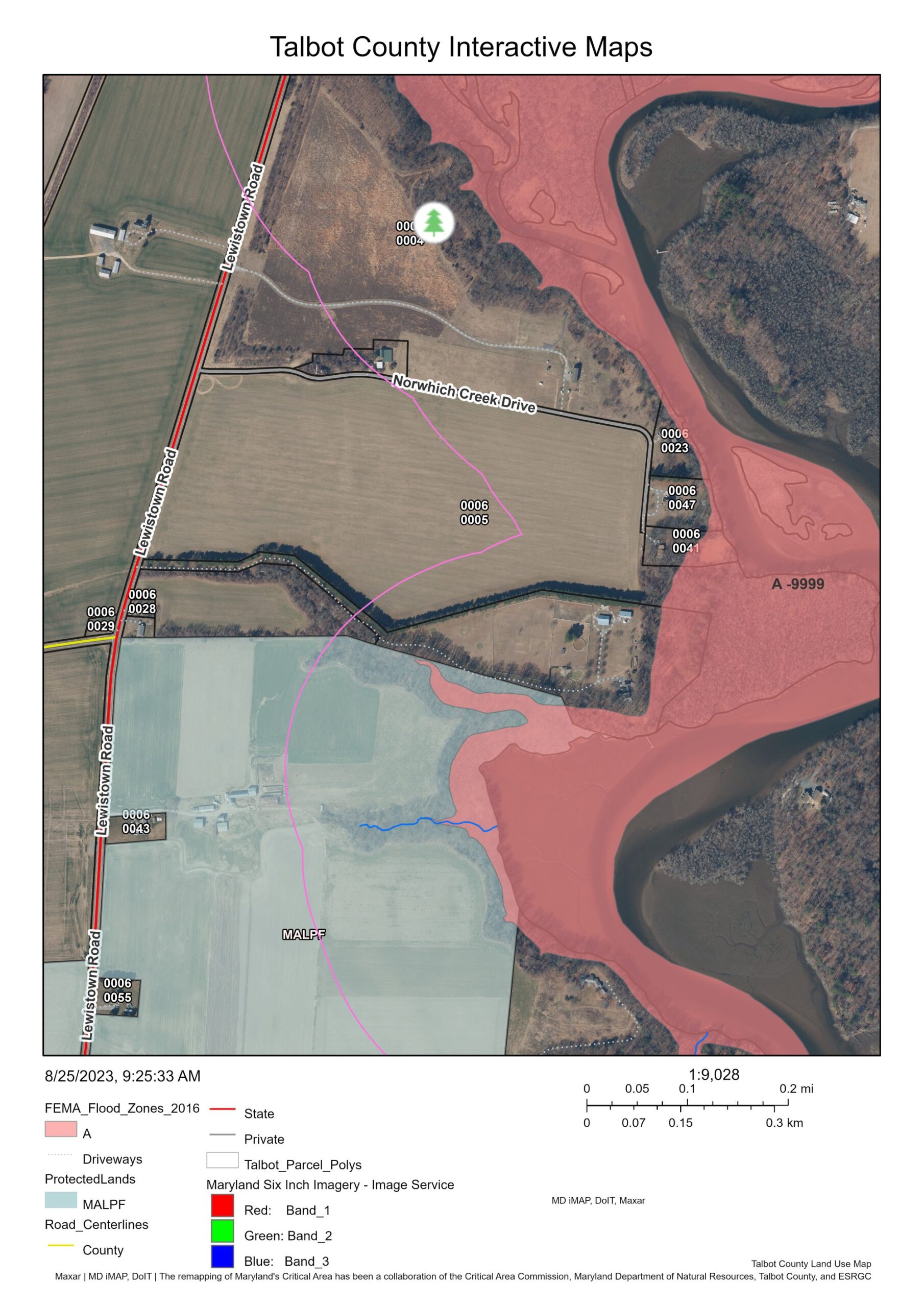
TalbotWorks_InteractiveLandUseMap