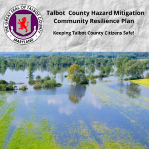
Homeowners in Talbot County’s unincorporated areas got some good news recently, thanks to the Department of Planning and Zoning.
Effective October 1, unincorporated areas of the county were designated Class 7 by the Federal Insurance Administration’s Community Rating System (CRS). As a result, homeowners will receive a 15% discount on their insurance premiums, an increase of 5%. Talbot County was previously designated Class 8, which gave policy holders a 10% discount.
The CRS is a voluntary incentive program that rewards communities that develop floodplain management programs that exceed minimum requirements set by the National Flood Insurance Program. When a community exceeds the “level of excellence” set by the program, the risk of flooding decreases and businesses and homeowners reap the benefits with lower insurance premiums.
To earn the Class 7 rating, Talbot County adopted higher regulatory standards comprising of Flood Insurance Rate Maps (FIRMs) that identify the Coastal “A” Zone and the Limit of Moderate Wave Action (LiMWA), a measurement that indicates where flood waves break and potentially cause damage to structures.
The County Council also adopted an updated Floodplain Management Ordinance in 2016 that requires new structures to be built two feet above the base level established by FEMA and limits the size and use of accessory residential structures.
“Public knowledge of risks and resources is key to preparedness,” says Talbot County Planning Officer Mary Kay Verdery. “We worked with our GIS Manager Mark Cohoon to make flood risk maps available to the public.
“Anyone can find this important resource on the County’s website under Topics of Interest,” Verdery continues. “These maps provide flood protection information to include elevation certificates, stormwater flow patterns, storm surge, historic flood related road closures and elevation color ramps.”